01

Land and site development

Land & topographic surveys

Before a site is designed or developed, its existing conditions need to be measured. Our land and topographic surveys capture terrain, levels and features using conventional and GNSS methods, with the results developed into survey drawings and mapped information.

  • Topographic and site development surveys
  • Boundary surveys
  • Conventional and GNSS measurement
  • CAD drafting and mapping
Discuss this service
02

Construction and mechanical works

Construction & engineering surveys

Construction and mechanical works bring different measurement challenges at each stage. We provide field surveying and technical support aligned to the project scope, available references and changing site conditions.

  • Construction surveys
  • Mechanical surveys
  • Field measurement for active project sites
  • Survey support for project teams
Discuss this service
03

Structures and complex sites

3D laser scanning & mobile mapping

Complex geometry is difficult to describe through isolated measurements. Laser scanning captures a dense point cloud of structures and spaces, supporting detailed digital representation, virtual 3D models and volume computations. Our capabilities also include mobile mapping LiDAR surveys.

  • Terrestrial 3D laser scanning
  • Point cloud capture
  • Virtual 3D models and volume applications
  • Mobile mapping LiDAR surveys
Discuss this service
04

Utilities and subsurface investigation

Underground utility surveys

Buried utilities and subsurface features add another dimension to a site. We combine ground penetrating radar, radio detection and electromagnetic induction methods to investigate and map underground conditions within the agreed survey scope.

  • Underground utility mapping
  • Geophysical underground surveys
  • Ground penetrating radar (GPR)
  • Radio detection and electromagnetic induction
Discuss this service
05

Routes and project quantities

Route & quantity surveys

Route and quantity surveys address the scale and extent of a project. We provide survey measurements for linear routes and project areas, together with quantity and volume information suited to the assignment.

  • Route surveys
  • Quantity surveys
  • Volume computations
  • Survey information for project planning
Discuss this service
06

Technical delivery and project support

Digital mapping & survey resources

Fieldwork is only part of the survey. Our CAD capability develops measurements into drawings and mapped information, supported by quality checks. We also provide survey manpower and equipment to meet project requirements.

  • Digital drafting and mapping
  • CAD survey drawings
  • Survey manpower supply
  • Survey equipment supply
Discuss this service
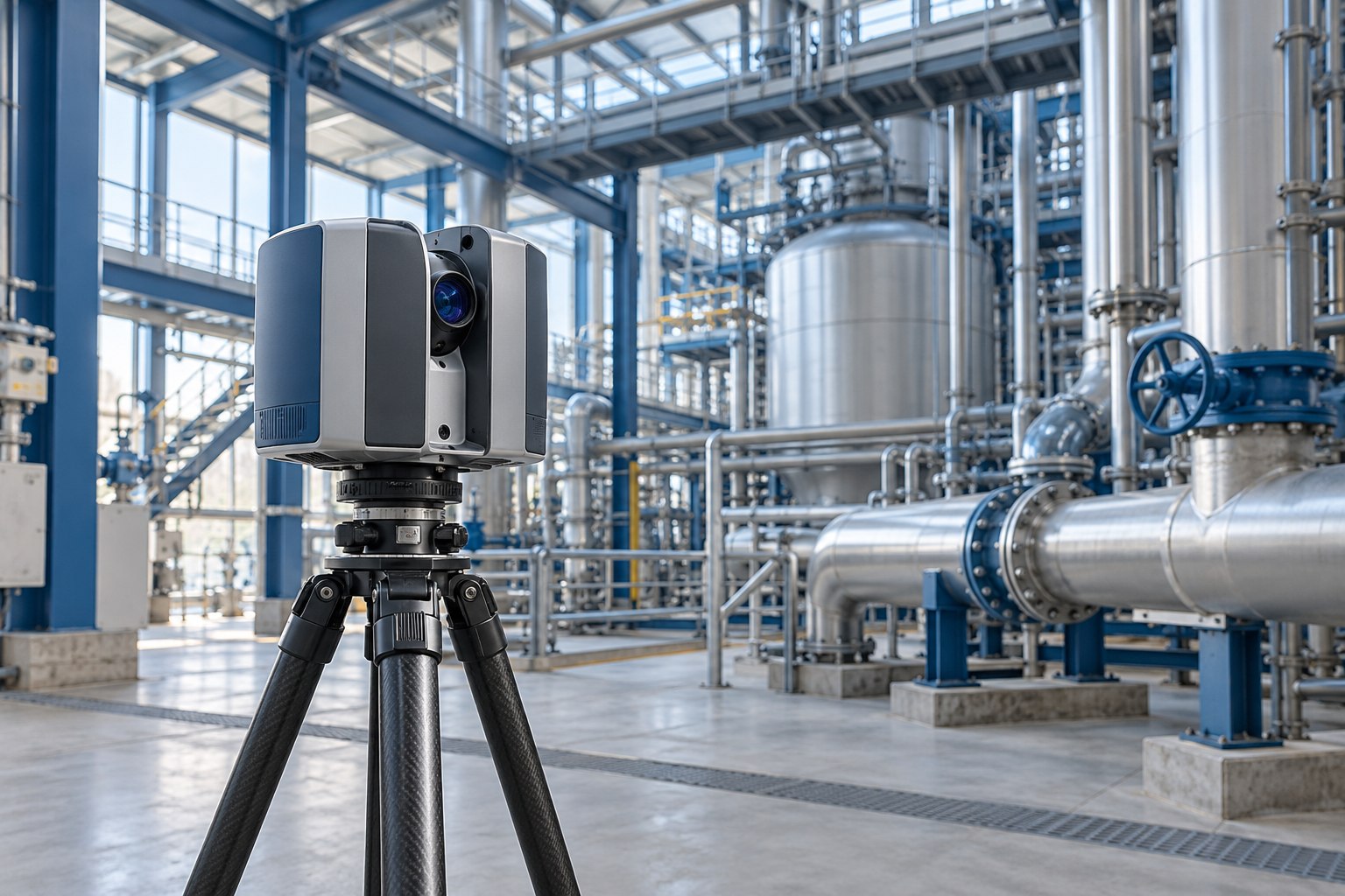
Illustrative laser scanning equipment in an industrial environment

From fieldwork to deliverables

Survey data.
Prepared for use.

Drawings, mapped information, point clouds and 3D representations each serve a different purpose. We work with your project requirements to define the scope and the outputs needed.

Talk to the team

Contact Saudi Comet

Tell us what you need.

Discuss a survey requirement, ask about our capabilities, or contact the company about careers and business opportunities.