Field experience
Experience in varied terrain, remote locations and active sites informs how a survey is planned and carried out.
Saudi Comet
A Saudi surveying and mapping company with roots in Al Khobar and experience across the Kingdom since 1975.
Our company
Saudi Comet was established in 1975. Since then, our work has developed across different sites, project scales and technical requirements throughout the Kingdom.
Our expertise brings together field surveying, specialist data capture and digital mapping. Conventional and GNSS surveys sit alongside 3D laser scanning, mobile mapping LiDAR and underground detection, supported by CAD drafting and technical delivery.
That range matters because no two sites present exactly the same challenge. The people, methods and outputs need to fit the work.
What we bring to the project
The quality of a survey depends on the work behind the deliverable.
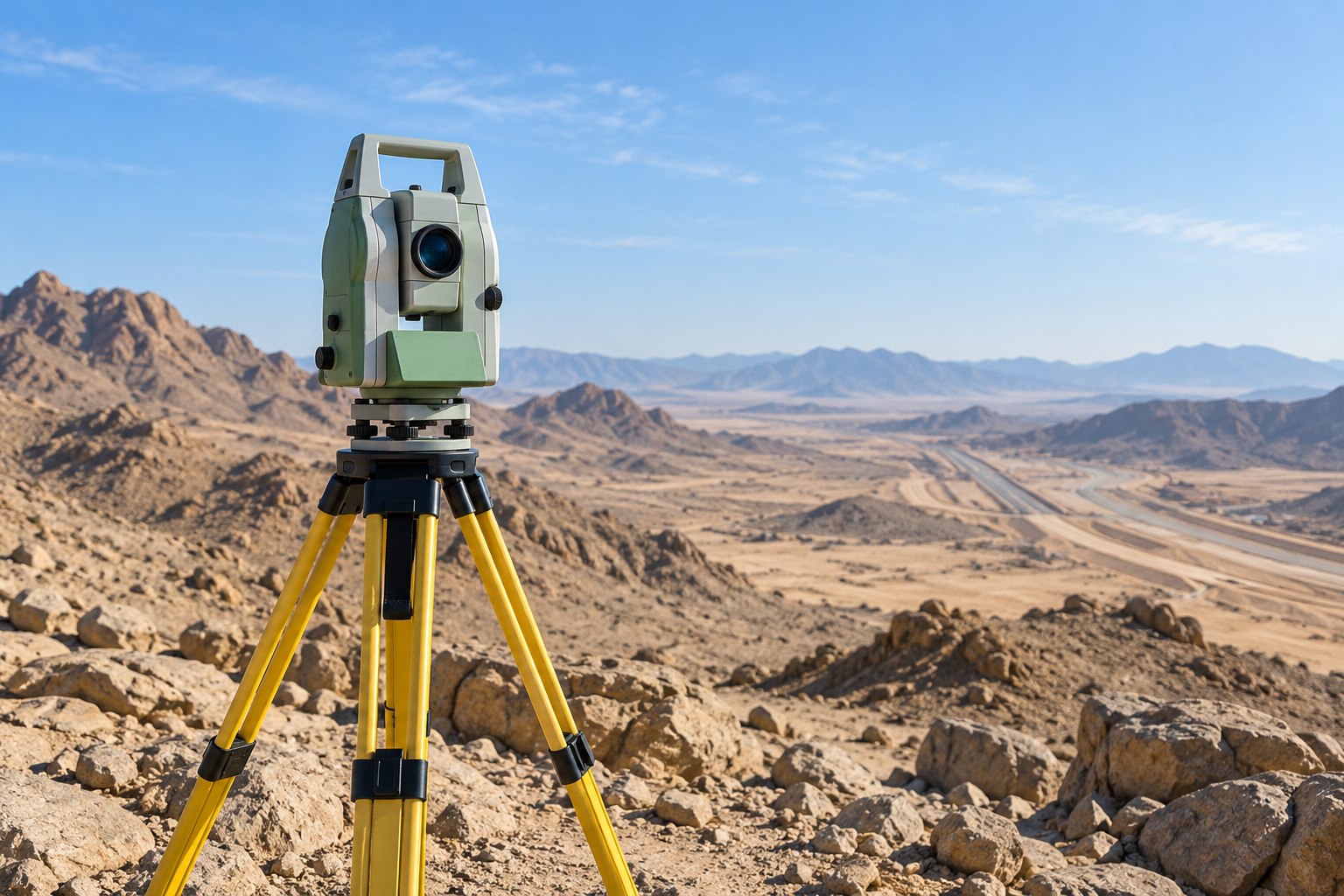
Experience in varied terrain, remote locations and active sites informs how a survey is planned and carried out.
A broad set of measurement, capture and detection methods lets us respond to different survey requirements.
Survey crews and CAD specialists connect field measurements with checked drawings and digital survey information.
Clear communication about scope, requirements and deliverables is central to how we work with clients.
A specialist surveying partner
Explore the full range of Saudi Comet’s survey services, or speak with our team about your next assignment.
View our servicesContact Saudi Comet
Discuss a survey requirement, ask about our capabilities, or contact the company about careers and business opportunities.